

2021 Ecological Assessment of the Illinois River Watershed
Monitoring ecological health and watershed conditions to improve management decisions.
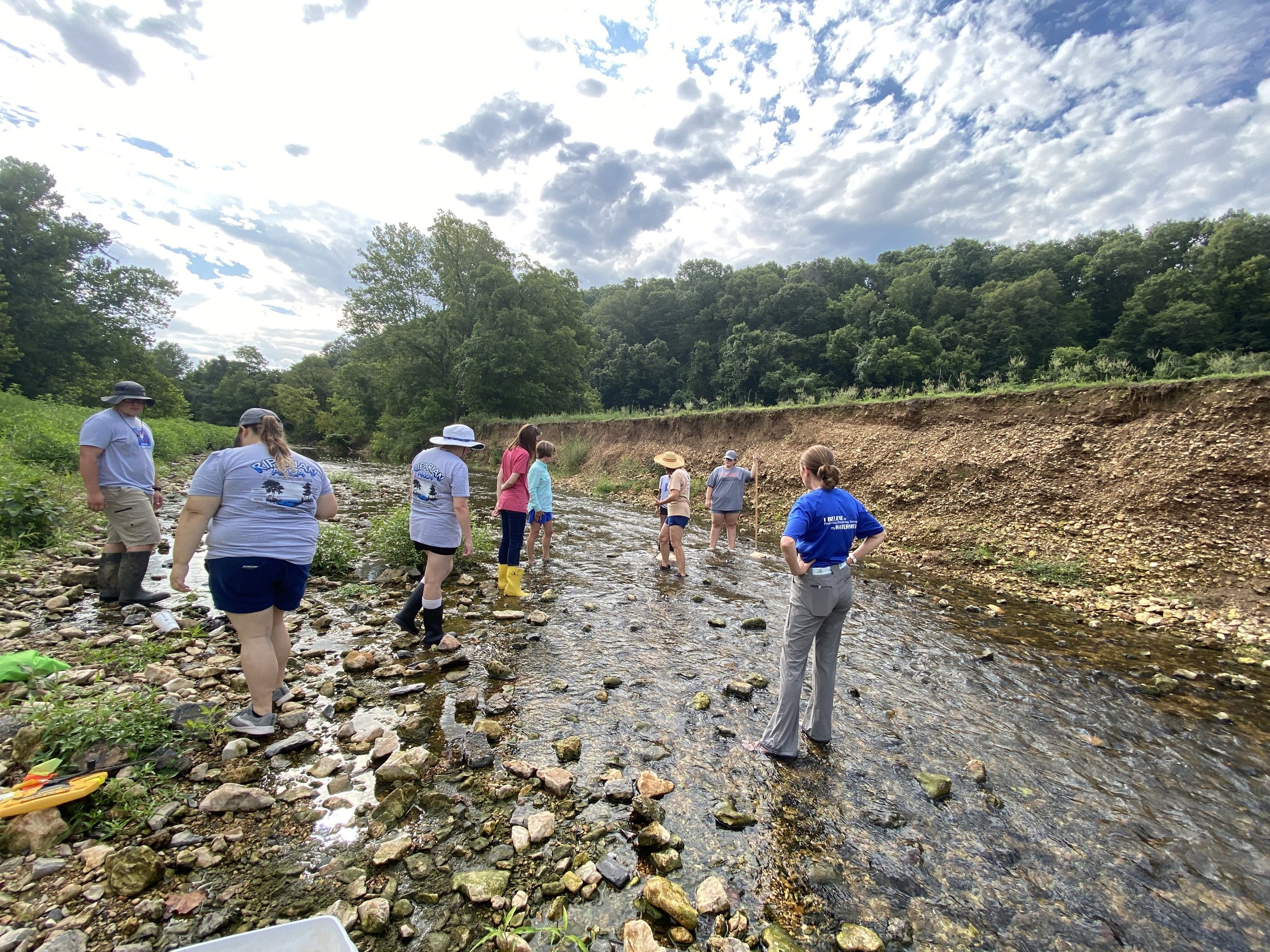
Macroinvertebrates are a biological indicator of watershed health.
Macroinvertebrates represent an important indicator of the biological health of the Illinois River and its subwatersheds. Species such as Mayflies, Stoneflies, Midges and Crayfish are reliable indicators of water quality throughout the watershed because they spend all or most of their lives in water, are easy to collect and differ in their tolerance to pollution. These and 18 other macroinvertebrates we looked for usually respond to human disturbance in predictable ways, are easy to identify, and are relatively easy to collect.

How do we study ecological health?
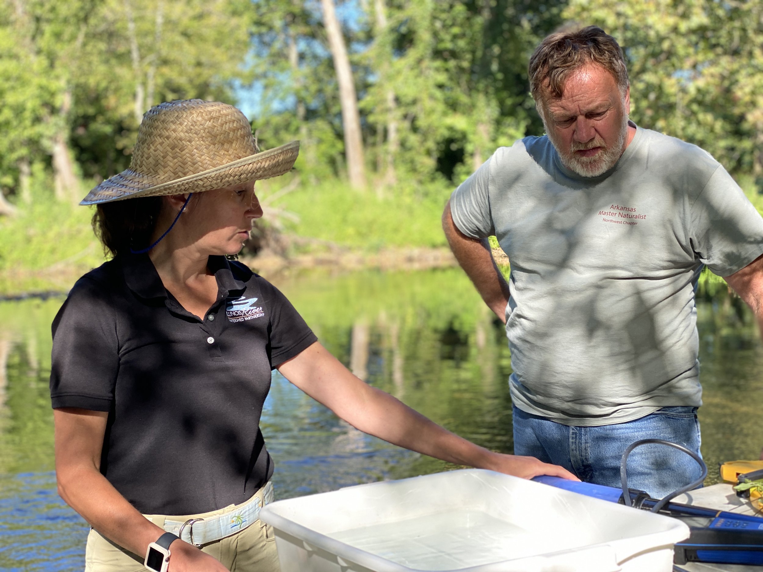
In 2018 and 2019, IRWP partnered with local schools’ Environmental and Spatial Technology (EAST) programs to assess twenty-one locations in April, August, and November of each year. In 2020 and 2021, IRWP partnered with Oklahoma Conservation Commission’s Blue Thumb staff and volunteers to assess twelve locations during the same months. The full report summarizes findings from the first four years of study while we focus here on the Oklahoma portion of the watershed which makes up approximately 54% of the entire Illinois River Watershed.
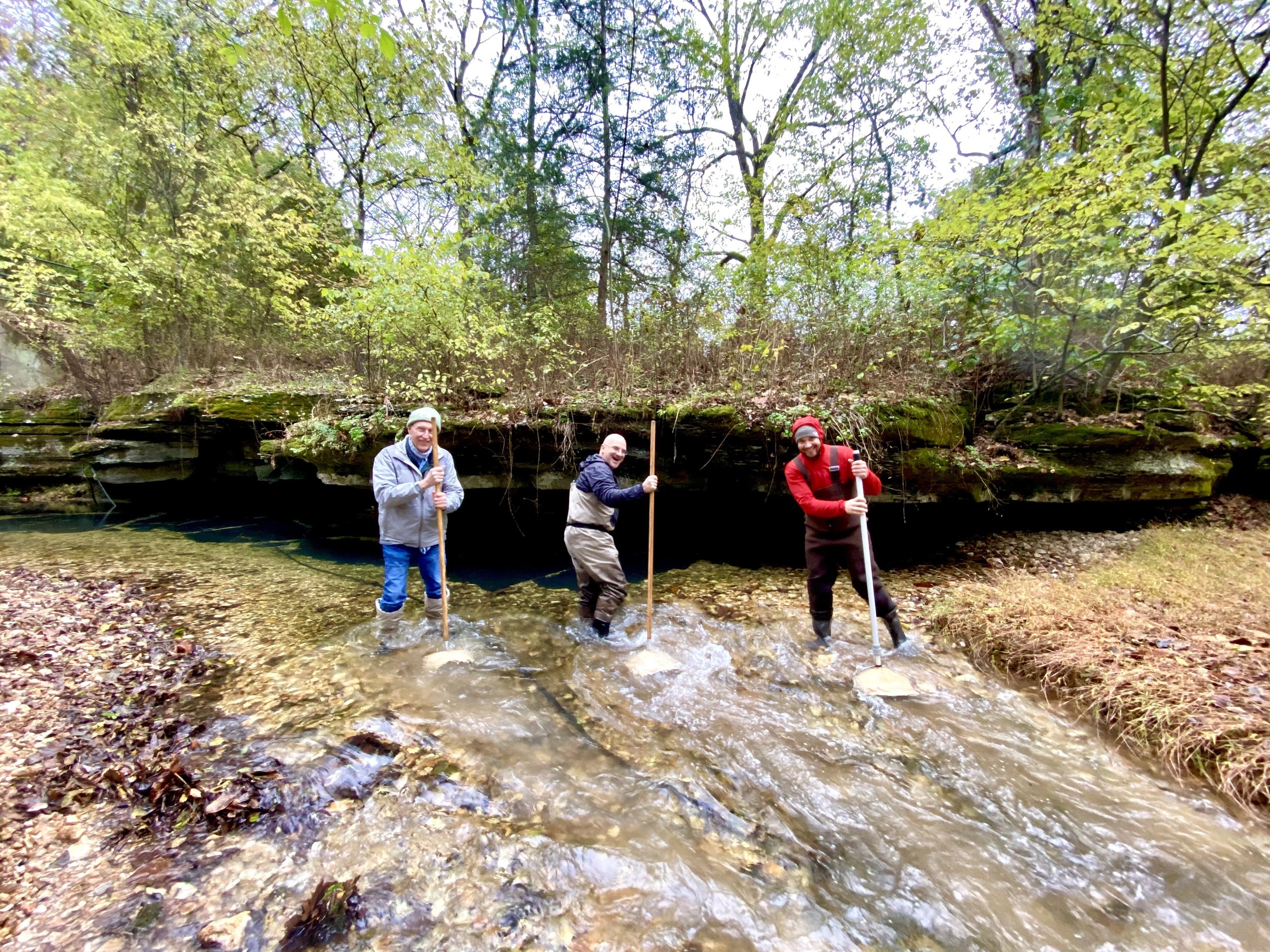
We conducted stream habitat assessments, macroinvertebrate sampling, land use change analysis, and conducted statistics analysis using accepted methods such as EPA’s Volunteer Stream Monitoring: A Methods Manual, the Arkansas Game and Fish Commission’s Stream Team method for macroinvertebrate scoring, and Izaak Walton League of America – Stream Insects and Crustaceans for macroinvertebrate identification.


Macroinvertebrate Diversity Results in Oklahoma and Arkansas
Macroinvertebrate diversity was significantly higher across all Oklahoma sites when compared to Arkansas. In Arkansas, the sites with the lowest diversity scores were found in Muddy Fork and Clear Creek subwatersheds. The site with the highest diversity score in Arkansas was also found in Clear Creek subwatershed. In Oklahoma, the site with the lowest average diversity score was found in Barren Fork and the site with the highest average diversity score was found in Flint Creek (see figure).

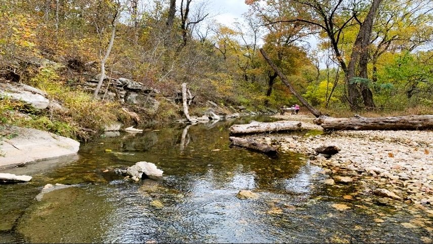
Barron Fork
The headwaters of Barren Fork begin in southern Washington county in Arkansas, however, most of this subwatershed is in Oklahoma. The Barren Fork drainage basin covers more land area than the main stem of the Illinois river and contains the largest piece of conserved land in the Illinois River Watershed – the J.T. Nickel Preserve (owned and managed by The Nature Conservancy). This 17,000-acre Preserve consists of uplands and lowlands including upland prairies, oak/hickory dominant forest, and sustainably managed pasture lands.
The Barren Fork subwatershed underwent a 6% increase in developed land area from 1992 to 2019. This is likely caused by the conversion of pasture land.
Below are images showing sites on Barren Fork with high and low macroinvertebrate diversity. Barren 2 (left) is the site that sustains the highest level of macroinvertebrate diversity. While there are signs of active erosion as seen on the left stream bank, suitable habitat conditions for aquatic macroinvertebrates remain intact as suggested by the data above. Barren 3 (right) sustains the lowest level of macroinvertebrate diversity. There are no active indications of streambank erosion at this site, however, a strong presence of gravel substrate and gravel bars indicate active erosion upstream.

Visual on a site with high macroinvertebrate diversity.
Visual on a site with low macroinvertebrate diversity.
Looking at the data, Barren Fork continued to maintain the lowest macroinvertebrate score among the four watersheds surveyed in Oklahoma. Barren 1 and 3 show increased diversity while Barren 2 shows decreased diversity from 2020 to 2021. The presence of Silt/Clay/Mud stream bottom substrate was observed to be relatively low with a high amount of gravel and cobble – desirable habitat for macroinvertebrates.
Management recommendations for Barron Fork include permanent or semi-permanent land conservation; restoration of riparian forests, wetlands, and floodplains; sustainable livestock practices such as rotational grazing and fencing cattle out of streams; and continued water quality monitoring including parameters such as dissolved oxygen, pH, and nutrients.

Caney Creek
Caney Creek is a largely rural watershed and is dominated by forested hillsides and agricultural pastures. The headwaters of the creek begin along Highway 59 close to Stilwell in Adair County, Oklahoma. The creek flows westward and eventually drains into Lake Tenkiller. There is no confluence between Caney Creek and either the Illinois River or the Barren Fork tributary.
The Caney Creek Subwatershed has undergone a 10% decrease in pasturelands and forested lands from 1992 through 2019. This area of land is home to high quality ecological communities as well as the westernmost portions of the Boston Mountain range. Continued loss of forested lands could have a significant impact on ecosystem health in this region. Deforestation has waned since 2016 and no change in forest land cover was observed through 2019.

Visual comparison of sites with high (left), medium (center) and low (right) macroinvertebrate diversity across Caney Creek's three sites.

Looking at the data, Caney Creek shows a relatively healthy community of macroinvertebrates with a diversity score of 25. Between 2020 and 2021, diversity scores remained the same or improved at Caney Creek sites. Site observations indicate a high level of suitable habitat for macroinvertebrates – cobbles and boulders – with very little observations of silt/clay/mud.
Management recommendations for Caney Creek include permanent or semi-permanent land conservation, restoration of riparian forests, wetlands, and floodplains, sustainable livestock practices such as rotational grazing and fencing cattle out of streams, and continued water quality monitoring including parameters such as dissolved oxygen, pH, and nutrients.

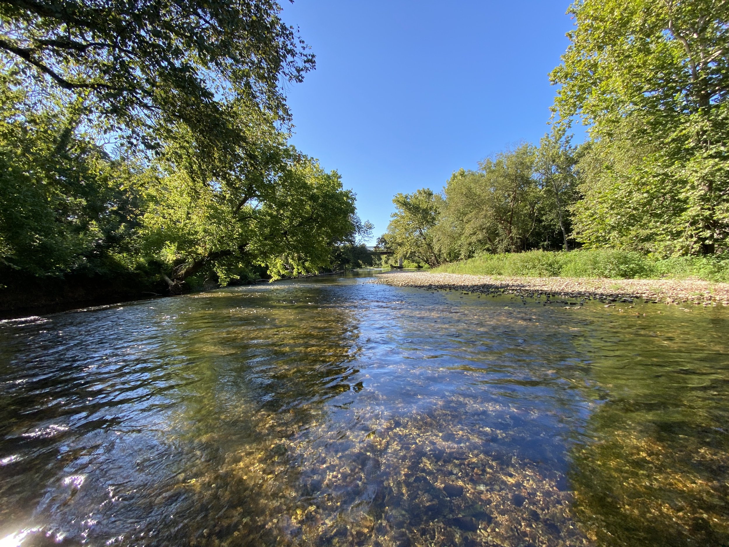
Flint Creek
The headwaters of Flint Creek are located in rural parts of Benton County, Arkansas. The creek flows into Oklahoma where it converges with Sager Creek and then into the main stem of the Illinois River. Flint Creek is a relatively small and unknown tributary, and it remains a high-quality, scenic stream system surrounded by forested lands. After showing a 4% increase in forested land between 1992 and 2016, 3 percent of that gain was lost between 2016 and 2019. This may be explained by the 1 percent increase in developed land and 1 percent increase in pasture/hay land use.
After showing a 4% increase in forested land between 1992 and 2016, 3 percent of that gain was lost between 2016 and 2019. This may be explained by the 1 percent increase in developed land and 1 percent increase in pasture/hay land use.
Both stream sites in the photos below show a healthy riparian buffer with little signs of erosion. This allows for habitat with little silt/clay/mud streambottom substrate. Additionally, we can infer that the rural land use upstream of these sites preserves streambottom composition, prevents erosion and silt/mud loading, and protects macroinvertebrate communities. Flint 4 (left) scored the highest diversity score and Flint 3 (right) the lowest for this subwatershed.

Visual on a Flint site with high macroinvertebrate diversity.

Visual on a Flint site with low macroinvertebrate diversity.
Flint creek remained the most diverse subwatershed sampled for macroinvertebrates in both Arkansas and Oklahoma. Flint Creek data show an average macroinvertebrate diversity score of 25.9. Flint 4 is the most diverse site across the subwatershed with an average score of 28, while Flint 3 was the least diverse site with a score of 23. While Flint remains the most diverse site, diversity scores did decrease slightly from 2020 through 2021. Flint Creek shows very little silt/clay/mud substrate across all sites observed.
Management recommendations for Flint Creek include permanent or semi-permanent conservation of all forested parcels (upland and lowland) throughout the subwatershed; sustainable practices for livestock production such as rotational grazing and fencing cattle out of streams, and continued water quality monitoring including parameters such as dissolved oxygen, pH, and nutrients.

Town Branch
Town Branch flows from north to south through the city of Tahlequah, Oklahoma where it connects with the Illinois River to the southeastern edge of the city. This stream has been impacted by the pressures of urbanization, however, the City of Tahlequah has taken steps to mitigate these challenges through several stream and riparian area restoration projects.
Between 1992 and 2019, the Town Branch subwatershed lost 8% of pasture/hay landuse and 5% of forested land. Developed land has increased by 10% since 1992 through 2019.
The first site photo (left) scored the highest of the two sites observed. This image represents a typical stream reach within the city limits of Tahlequah – a mix of lawn, urban forest, and low density residential or commercial development. Contrary to conventional understanding of the pressures of urbanization on ecosystems, this site contained a healthier community (on average) of macroinvertebrates. The second sight (right) is a restored section of the stream. This site contains structured riffles, runs, and pools along with re-established riparian buffers. Although the long-term average diversity score for this site is lower, the data from 2021 shows a healthier macroinvertebrate community at this site for that year.

Visual on a Town Branch sight with high macroinvertebrate diversity.

Visual on a Town Branch sight with lower macroinvertebrate diversity.
Town Branch shows an average diversity score of 24.5 – exceptional for an urban stream system. Town Branch 1 scored a higher average diversity score of the two sections surveyed (27). Town Branch 2 scored a lower average diversity score (23). Town Branch shows a diverse streambed composition with a large portion of bedrock. This could indicate water moving at high velocities through the stream channel during peak flow events. Town Branch 1 shows a decrease of 4 points on its diversity score from 2020 to 2021. Town Branch 2 shows an increase of 2 points on its diversity score from 2020 to 2021.
Management recommendations for Town Brand include implementation of low impact development features on all parcels with impervious surfaces; permanent or semi-permanent land conservation on headwaters and upstream portions of the watershed; continued stream and riparian restoration projects; and continued water quality monitoring including parameters such as dissolved oxygen, pH, and nutrients.
Our objective in performing this assessment was to provide decision makers within each subwatershed with information to make informed decisions regarding land use, urban planning, stormwater mitigation, and natural resource conservation opportunities.
-
For this four-year study, macroinvertebrate diversity was most related to components of the streambed and not necessarily related to components of the streambank or surrounding land use. Diversity was positively related to the presence of cobbles and gravel in the streambed and negatively related to the presence of silt, clay, and mud in the streambed. Assuming the presence of cobbles and gravel is the “natural” state (i.e. would be present at all sites if it were not for the presence of silt, clay, and mud), management recommendations include practices that have been shown to reduce the presence of these small, light, and highly erodible soil particles that are introduced to the stream via either over-land flow during rain events or streambank erosion. Other studies conducted by IRWP indicate that streambank erosion from both urban and rural settings is one of the largest contributors of phosphorus to the watershed.
-
Land use has not changed significantly across the entire watershed but is changing significantly in one area of the watershed. The population of Northwest Arkansas is expected to almost double over the next 20 years and most of the resulting land use change will occur in the Illinois River Watershed. It will likely occur in the form of pasture lands and farms converting to low density residential and commercial developments. Conserving and restoring high-value natural resources needs to happen now as prevention is (generally) much less expensive than remediation. Interestingly, two urban subwatersheds, Sager Creek and Town Branch, that recently embarked on urban stream restoration projects had relatively high macroinvertebrate diversity, indicating that such projects can prevent erosion and deposition of sediment, as well as restore ecological function.
-
Get the the full report for the last four years and data for Oklahoma and Arkansas by clicking on the button at the top of this page.