Moving IRWP and Partners’ Resources into an Illinois River Watershed Geospatial Information System (GIS)
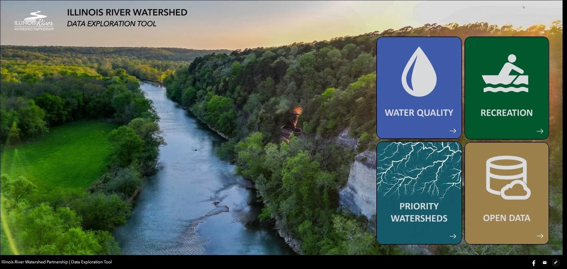
The Illinois River Watershed is rapidly growing, particularly Northwest Arkansas, as is our use of and impact on quality water resources. Pollutants carried by water affect the health of our drinking water, fish populations, recreation, and all uses. Deciding where to focus work to improve water quality is complex. The Illinois River Watershed Partnership (IRWP) has released a GIS portal to help partners prioritize where to make investments. Hosted on ArcGIS Experience Builder, this web application invites anyone, from landowners to educators, planners, and environmental professionals, to actively explore and understand the Illinois River Watershed (experience.arcgis.com).
The public can directly access interactive maps and datasets, for the first time in many cases, that have often lived in technical reports and file archives. With just a few clicks, users can:
Explore streamflow gages, water quality monitoring stations, wetlands, and land use changes across Arkansas and Oklahoma portions of the watershed by selecting Water Quality.
See where existing recreational access and assets are located on the Illinois River and its tributaries in Arkansas and Oklahoma by selecting Recreation.
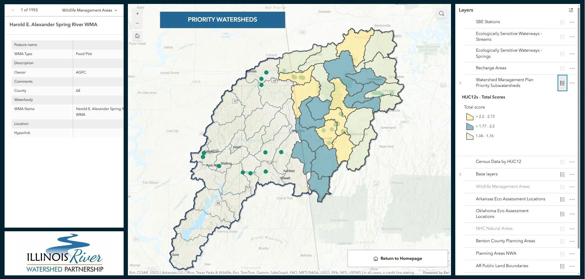
Overlay areas of ecological significance, prioritize subwatersheds for non-point source nutrient reduction projects, and identify open space priorities for planning purposes by selecting Priority Subwatersheds.
The GIS portal helps partners actively explore, understand, and prioritize decisions that support planning and water quality in the Illinois River Watershed.
“We hope that by highlighting important spatial data, making it broadly accessible, and identifying important subwatersheds for action, IRWP is equipping the public and partners with geographic insights for better decision-making.”
This accessible tool empowers citizens, students, and decision-makers alike to visualize watershed health in real time, encouraging shared responsibility and participation in conservation. And professionals can access it all for download through the Open Data Portal.
An important feature of this GIS portal is that it highlights priority subwatersheds—places where IRWP and partners focus restoration and protection efforts to achieve the greatest impact. Among the highest priorities:
Moors Creek – a subwatershed with significant potential for reducing loading of sediment, total phosphorus, and total nitrogen through implementation of agricultural conservation practices.
Lower Muddy Fork – an important agricultural and rapidly urbanizing subwatershed where conservation practices can significantly reduce nutrient and sediment loading.
Little Osage Creek – a rapidly urbanizing tributary where stormwater management BMPs and riparian protection are critical to protecting downstream water quality, particularly reducing sediment and total nitrogen.
Lake Wedington–Illinois River – a key agricultural and urban interface where conservation practices can significantly reduce nutrient and sediment loading.
Lake Frances-Illinois River – a biologically rich stream system where targeted protection efforts to reduce sediment and total phosphorus will help safeguard habitat for aquatic life and reduce erosion risks.
Ranking Subwatersheds for Investment
The Upper Illinois River Watershed Management Plan identifies and ranks subwatersheds for priority investment overall as well as by priority pollutant.
By identifying these high-priority subwatersheds in the GIS portal, partners have a regional tool to help identify where focused actions can most improve watershed health. Partners and the public can also contribute data and information to the portal to help us grow it!