
2025 Ecological Assessment of the Illinois River Watershed
Monitoring ecological health and watershed conditions to improve management decisions.
Click the button below to access the full report.
What is the Ecological Assessment?
*
What is the Ecological Assessment? *
How do we study ecosystem health in the watershed?
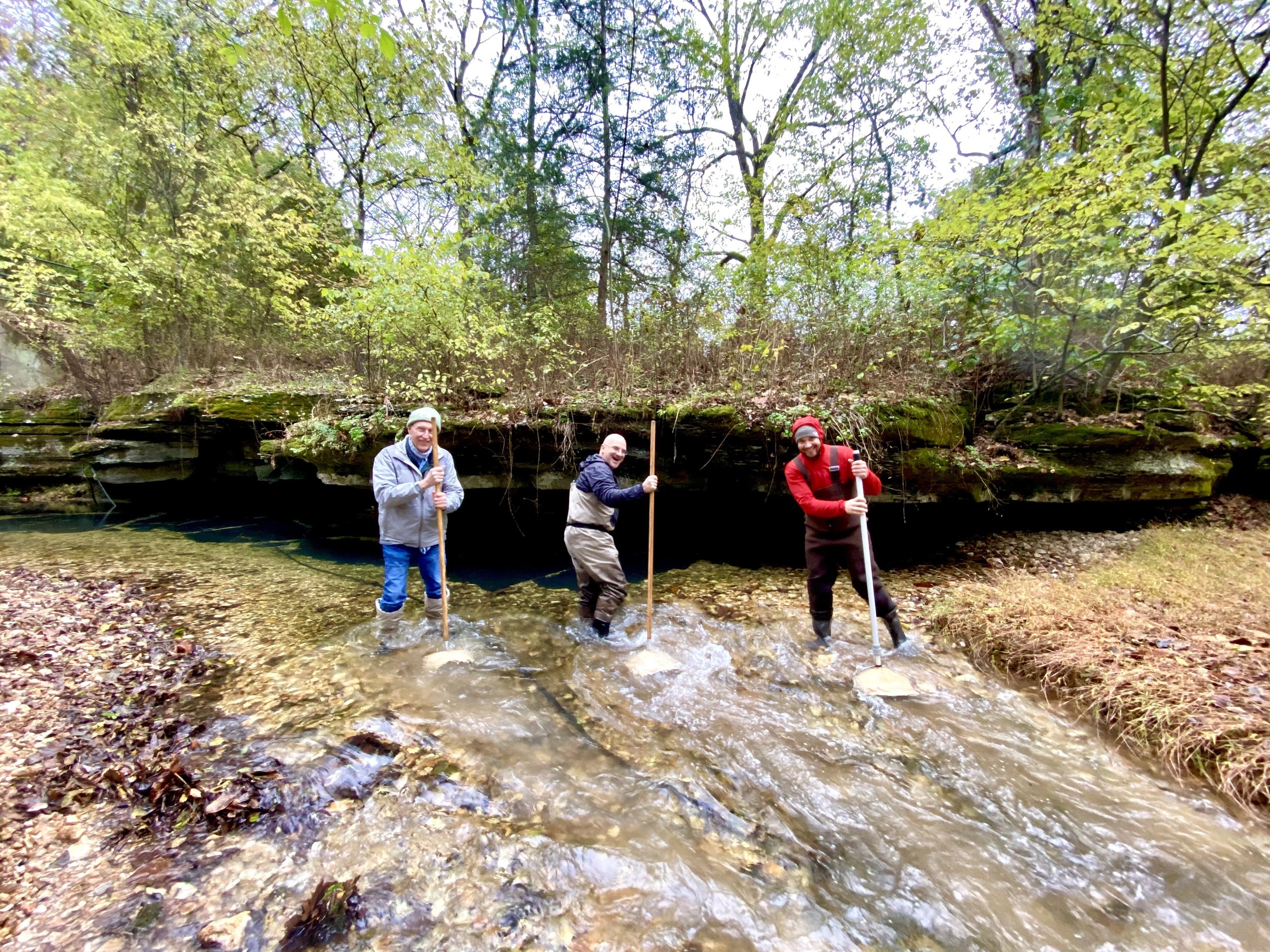
In 2020 , 2021, 2023, and 2025 IRWP partnered with Oklahoma Conservation Commission’s Blue Thumb staff and volunteer citizen scientists to assess Oklahoma subwatersheds during April, August, and November of each year. In 2018, 2019, 2022, and 2024 IRWP partnered with local schools - largely through Environmental and Spatial Technology (EAST) programs - to assess Arkansas subwatersheds the same months.
QUALITY ASSURANCE
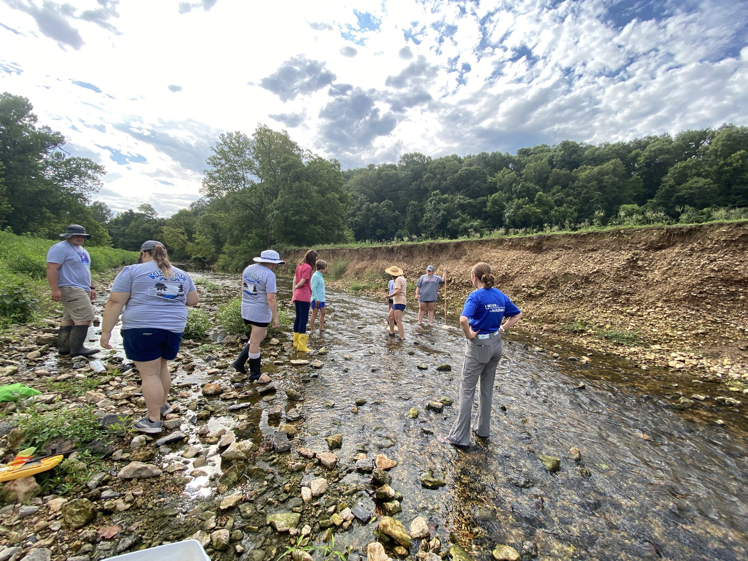
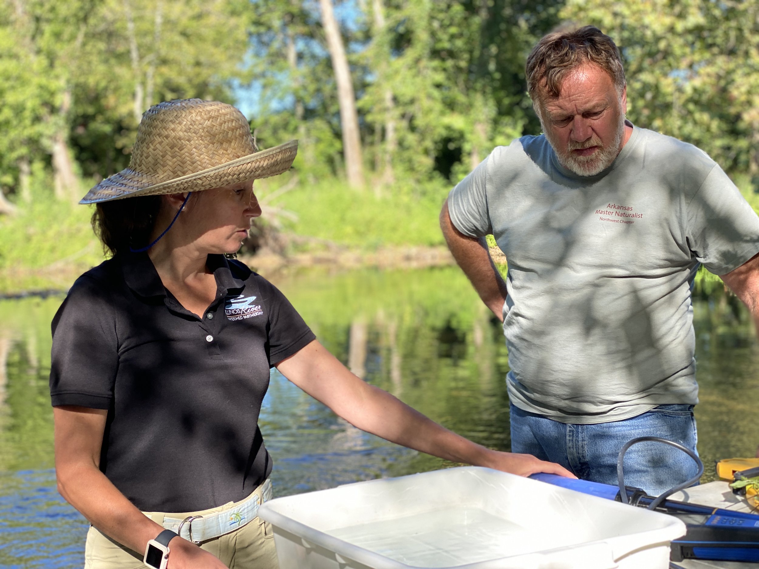
We conducted stream habitat assessments, macroinvertebrate sampling, land use change analysis, and water quality testing through AWRC, GRDA, and the Tyson Foods labs.
We conducted statistics analysis using accepted methods such as EPA’s Volunteer Stream Monitoring: A Methods Manual, the Arkansas Game and Fish Commission’s Stream Team method for macroinvertebrate scoring.
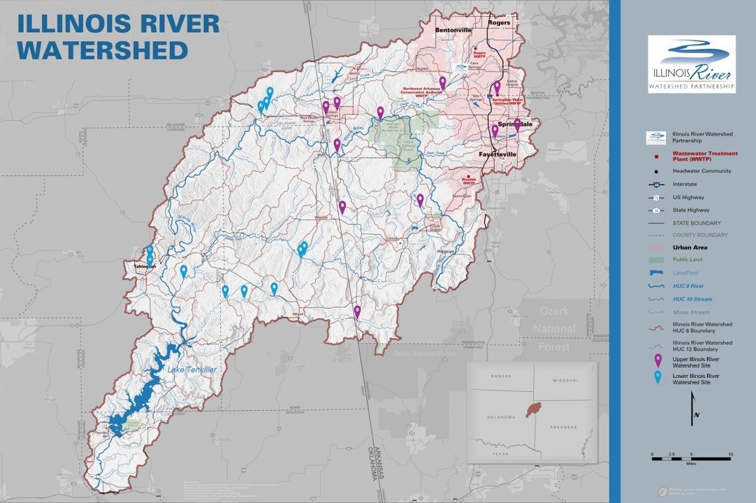
Monitoring Sites Map


CORRELATIONS
Correlation regressions were run to determine which stream characteristics had a significant relationship with MDIS.
Variables highlighted in green were found to be medium-strong positively correlated with high significance.
Variables highlighted in pink were found to be medium-strong negatively correlated with high significance.
The full report discusses these relationships and their implications.

Our objective in performing this assessment was to provide decision makers within each subwatershed with information to make informed decisions regarding land use, urban planning, stormwater mitigation, and natural resource conservation opportunities.
-
Macroinvertebrate diversity was most related to components of the streambed and not necessarily related to components of the streambank or surrounding land use. Diversity was positively related to the presence of cobbles and gravel in the streambed and negatively related to the presence of silt, clay, and mud in the streambed. Within the Ozark Highlands ecoregion, the presence of cobbles and gravel is the assumed “natural” state (i.e. would be present at all sites if it were not for the presence of silt, clay, and mud). Management recommendations include practices that have been shown to reduce the presence of these small, light, and highly erodible soil particles that are introduced to the stream via either over-land flow during rain events or streambank erosion. Other studies conducted by IRWP indicate that streambank erosion from both urban and rural settings is one of the largest contributors of phosphorus to the watershed.
-
Land use has not changed significantly across the entire watershed but is changing significantly in one area of the watershed. The population of Northwest Arkansas is expected to almost double over the next 20 years and most of the resulting land use change will occur in the Illinois River Watershed. It will likely occur in the form of pasture lands and farms converting to low density residential and commercial developments. Conserving and restoring high-value natural resources needs to happen now as prevention is (generally) much less expensive than remediation. Interestingly, two urban subwatersheds, Sager Creek and Town Branch, that recently embarked on urban stream restoration projects had relatively high macroinvertebrate diversity, indicating that such projects can prevent erosion and deposition of sediment, as well as restore ecological function.
-
Get the the full report by clicking on the button at the top of this page.